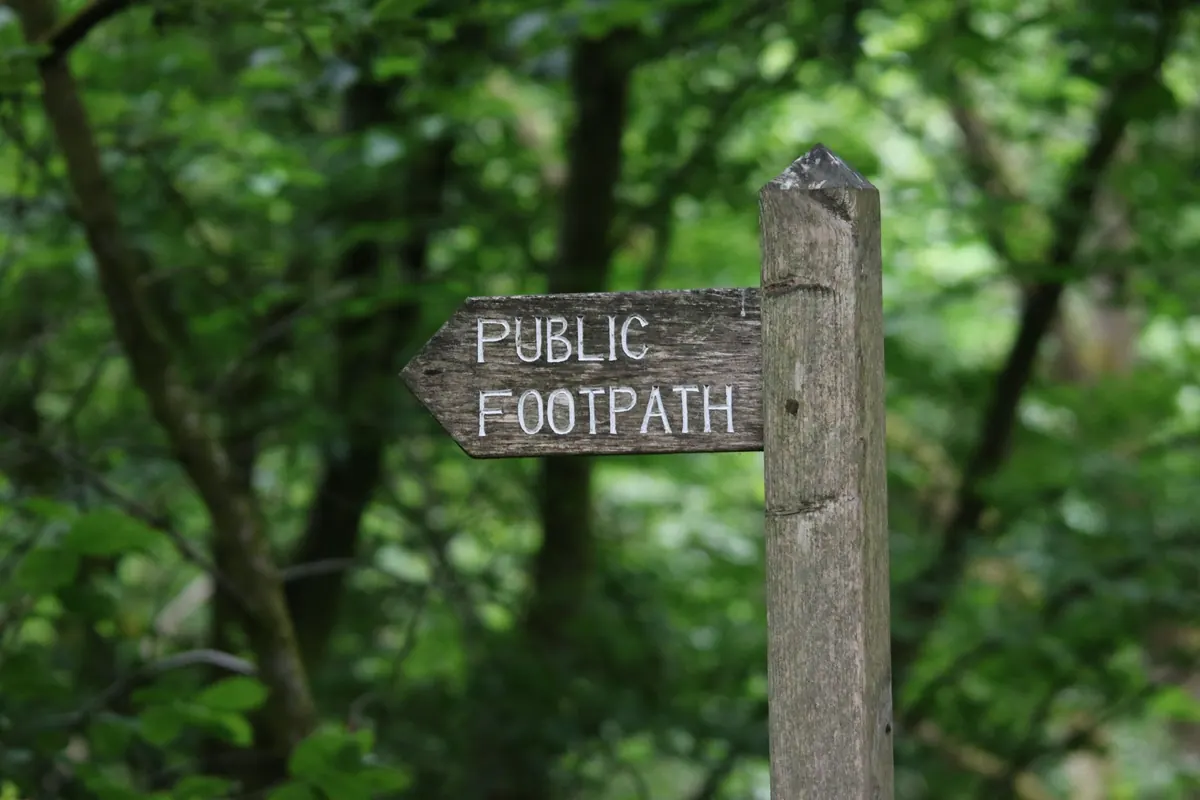
The best loops feel as though they were always there: a lane out of the village, a path across two fields, a strip of wood, a ridge, and a lane home. They weren't. Someone sat down with a map, drew a line, checked the gates and the gradients, and thought about where the mud would be in February. Here's the order I work in.
Start with the rights of way map, not the view
Scenery is the reward; legal access is the plan. In England and Wales, every highway authority keeps a definitive map of public rights of way, and most publish it online as a layer you can zoom into. That map is the one that counts when a path crosses a farmyard and there's no sign in sight.
The categories decide who may use a route and, often, how good the surface is:
- Footpath — walking only.
- Bridleway — walking, horse riding and cycling.
- Restricted byway — those, plus horse-drawn vehicles.
- Byway open to all traffic — rare, and usually a muddy track shared with vehicles.
Scotland works differently, with a general right of responsible access rather than a mapped network of paths. And watch for permissive paths — routes a landowner allows by goodwill — which can close or divert at short notice and aren't on the definitive map.
Read the map like a walker
An Explorer at 1:25,000 is the sweet spot for planning on foot: field boundaries, gates and small woods all show up. Landranger at 1:50,000 is fine for a broad line but hides the details that decide whether a route is pleasant or a slog. Path symbols differ between map series, so read the legend before you trust the dashes.
Five things to check on any line you draw
- How many boundaries it crosses. Ten field edges means ten gates or stiles — slow going with children or a dog.
- Contours. On an Explorer they usually run at ten-metre intervals. Count them: a loop that climbs 200 metres in three short pulls is a different day out from a flat four miles.
- Water. Streams, fords and marsh symbols tell you where the wet ground is.
- Woodland and lanes, which are useful when you want shelter on a windy day.
- Shape. A loop that follows a valley is easier to follow and quicker to abandon than one that zigzags between farms.
Build the loop around anchors
Pick two or three fixed points and let the path network join them: a village with a pub, a car park, a bus stop, a hilltop. Anchors give the walk a purpose and give you somewhere to cut it short. Then choose the direction. Clockwise often keeps the sun behind you in the afternoon; anticlockwise puts the steepest climb at the start, when legs are fresh. Neither is a rule, though. If the forecast is for rain and you want the wind at your back on the return, reverse it. If you're walking with someone who hates hills, pick the gentler gradient even if it means a longer approach.
At this stage, sketch the loop on paper or in a mapping app. Draw the line, then look at what it actually crosses. A route that looks tidy on a small screen can unravel into a dozen unmarked field corners. I often trace the same loop three or four times, zooming in and out, before I'm satisfied.
Check for obstructions and temporary closures
A path on the definitive map is a legal right, but that doesn't mean it's clear on the ground. Crops can swallow a footpath in summer; fallen trees can block a bridleway after a storm. Councils publish temporary closure notices—often on their website or on a laminated sign at the site—but they're easy to miss when you're planning from an armchair.
Before you commit to a loop, do a quick check on local walking forums, the Ramblers' path watch pages, or apps like Komoot and OS Maps, where recent reports often mention stiles that have rotted or gates that have been wired shut. If a path runs through a working farm, assume there will be livestock at some point. A field of cows with calves is not the place to discover your dog has never seen a bovine before.
“A right of way is a legal line, not a guarantee. The map tells you where you may go; the ground tells you how easily you'll get there.”
Plan for the season and the ground underfoot
The same loop can be a delight in June and a quagmire in January. Clay soils hold water; chalk downs drain fast. If your route crosses a floodplain, check the Environment Agency's flood map—it's not just for riverside towns. In winter, low sun and short days mean you might need a headtorch for the last mile, so plan the distance accordingly.
Think about vegetation, too. Nettles and brambles can make a narrow path impassable by late summer. Bracken hides rocks. Ticks are active from spring to autumn, especially in long grass and woodland edges. A pair of gaiters and a tick tool weigh almost nothing and can save a lot of grief. And if you're walking in a National Park, check for seasonal restrictions—ground-nesting birds, deer stalking, or controlled burning may close a route for a few weeks.
Test the route before you commit
You don't have to walk the whole loop to know it works. Drive or cycle to one or two key points and check the access. Is there a gate where the map says there is? Is the stile dog-friendly? Is the parking actually legal? Satellite view can show you whether a path is a wide track or a faint line through a crop. Google Street View can confirm that a lane has a pavement or a verge wide enough to walk safely.
If you're planning a longer walk, try a short out-and-back section first. Walk the first mile from the car park, then turn around. You'll learn more about the ground, the signage, and the local mood than any map can tell you. It's also a good way to check that your boots and your legs are ready for the full distance.
Navigation on the day
Carry a paper map and a compass, even if you have a phone. Batteries die, screens crack, and signal vanishes in valleys. A GPS track is useful, but don't follow it blindly—if the path on the ground is clearly different from the line on the screen, trust your eyes and the waymarks. Stiles and gates get replaced; paths get diverted. A compass bearing on a known feature—a church tower, a pylon, a hilltop—will get you back on track faster than waiting for a satellite fix.
Tell someone where you're going and when you expect to be back. That's basic, but it's the single most useful thing you can do if something goes wrong.
Respect the land and the law
Follow the Countryside Code: close gates behind you, keep dogs under control around livestock, take litter home, and leave nothing but footprints. Stick to the line of the path, even when it seems pointless—cutting a corner across a crop or a garden is both rude and illegal. If you meet a landowner, a friendly hello goes a long way. Most are happy to see people enjoying the countryside; a few have had bad experiences with trespassers and litter. Your behaviour on one walk shapes access for everyone who follows.
A good loop is a small act of cartography. You start with a legal line, add the contours and the gates, and finish with a day that feels like it grew there. It rarely works perfectly the first time—but that's part of the pleasure. The second time you walk it, you'll know where the muddy bit is, where the sun hits the ridge, and exactly where to stop for lunch.
Photo: Tom Vaughan / Pexels